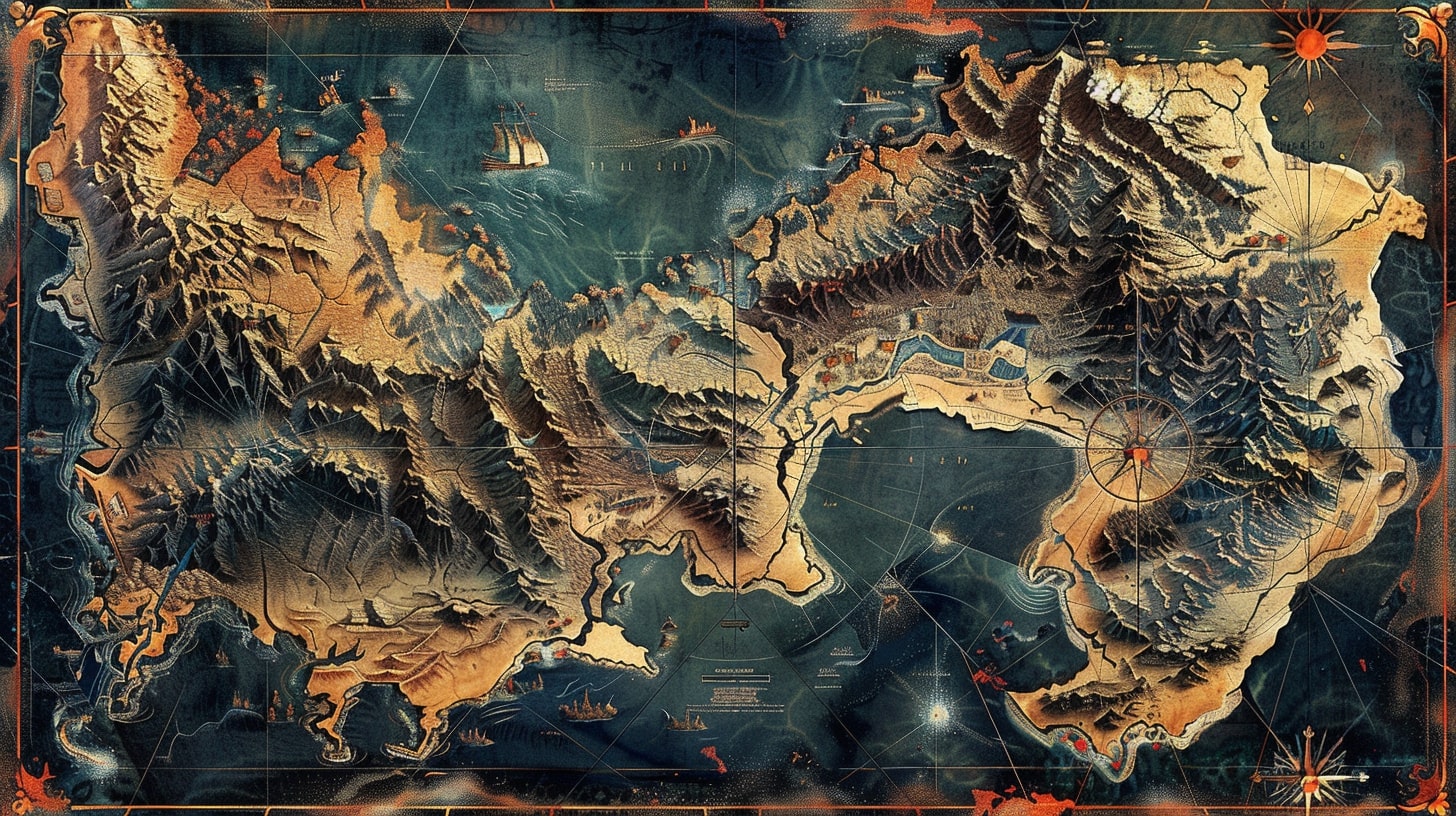
A worldbuilding map is not decoration. It is a set of decisions about how your world works, made visible.
Every line you draw is a commitment. Put a mountain range down the middle of the continent and you have just decided where the weather goes, where the borders sit, and which two cultures spent a thousand years not talking to each other. Draw a river and you have decided where the cities want to be.
Most fantasy map guides treat the map as the last step, the fun part you do once the real work is done. It is closer to the opposite. The map is where you find out whether the world you invented could physically exist.
The map is geography, and geography drives everything
Rivers run to the sea. They do not fork on the way down, they do not pour out of a single lake in three directions, and they do not run uphill because it looked good on the page.
That sounds obvious until you look at how many fantasy maps break it. A river is water obeying gravity. Tributaries join as it descends. It collects into one channel and empties into a lake or an ocean. Get that right and half your map already feels real, because the reader's eye knows what water does even when their brain is not paying attention.
Cities grow where geography rewards them. A harbor you can defend. A river mouth where cargo has to change from boat to cart. A ford or a pass that every trade route is forced through. Nobody founds a great city in the middle of a plain where nothing grows and no road needs to bend.
Mountains do more work than any other feature on the map.
They make borders, because armies hate crossing them. They make weather, because they wring the rain out of the wind on the way up and leave a dry shadow on the far side. They make isolated cultures, because a valley people can go a long time without meeting the valley people three ridges over. A single range can explain a language, a religion, and a war.
A desert between two nations is not empty space. It is the answer to why they never conquered each other. Put it there on purpose.
This is the part worth slowing down on, because it is where the map stops being art and starts being infrastructure. If you are building the physical logic underneath all of this, the worldbuilding geography side of it deserves its own pass, and the map is where those decisions get tested against each other.
The classic beginner mistakes
The tells are consistent. Once you know them you see them everywhere, including in your own first draft.
Rivers that branch as they flow downhill, or that flow out of one lake toward two different coasts. Water picks one way down. A lake with a river flowing in and a river flowing out is fine. A lake feeding three rivers in three directions is not.
A mountain range with no rain shadow. Wind hits the mountains, drops its rain on the near slope, and comes down dry on the far side. So you should see lush on one flank and arid on the other. A range with rainforest on both sides is a range that has never met prevailing wind.
Cities placed where nothing would grow and no trade would pass. A capital in the deep desert with no river, no coast, and no reason. Ask what feeds it. If you cannot answer, move it or explain it.
The big one is a continent shaped for looks. Coastlines drawn like a logo, perfectly balanced, with mountains and forests scattered for visual variety instead of climate logic. Real coastlines are ragged and accidental. Real biomes sit where latitude and wind and elevation put them, not where the composition needed a splash of green.
You do not need a geology degree to fix this. You need to ask, for every feature, why is it here and what does it cause. If the answer is "it looked good," that is the mistake.
Types of worldbuilding maps
You will not draw all of these, and you should not try to cram them onto one sheet. Different maps answer different questions. Keeping them separate keeps each one readable.
| Map type | What it shows | When you reach for it |
|---|---|---|
| Physical | Landforms, coastlines, mountains, rivers, deserts, forests. The bones. | First, always. Everything else sits on top of this. |
| Political | Borders, kingdoms, contested ground, capitals. Who holds what. | When the plot runs on power, war, or travel between states. |
| Cultural | Where peoples, languages, and faiths actually live, which rarely matches the borders. | When conflict comes from who lives next to whom, not who rules them. |
| Historical | The same land at an earlier moment. Old borders, ruined cities, a coastline before the flood. | When the past presses on the present and characters walk through its wreckage. |
The physical map is the one that constrains all the others. Draw it first and let the political and cultural maps argue with it. A border that ignores the mountains is a border somebody imposed by force, and now you have a story reason for a war.
Draw the map the story has to obey
Here is the shift that makes a map worth the trouble. Once it exists, your plot has to obey it.
Travel takes time, and the map sets how much. If the army marches from the northern keep to the southern city, the mountains and the river crossings decide how long that takes and whether they arrive exhausted. Supply lines stretch and snap over real distance. An invasion that ignores the desert in the way is an invasion that dies of thirst.
That constraint is a gift. A map that pushes back on your plot is a map generating plot. The pass is closed by snow, so the message arrives late, so the battle is lost. The only harbor is on the wrong coast, so the fleet has to sail the long way around, so the enemy gets there first. None of that is your invention anymore. It is the world telling you what happens next.
Tolkien understood this before he wrote a word of the journey. "I wisely started with a map," he said, "and made the story fit." Middle-earth's map is not an illustration of the plot. The plot is a route across the map, and the distances are why the walk from the Shire to Mordor costs what it costs.
George R.R. Martin built Westeros the same way. The Wall in the far north is a wall because the geography made a hard northern edge worth defending. King's Landing sits on Blackwater Bay because that is where a capital wants to be, on a defensible harbor with a river feeding it. The narrow sea is narrow on purpose. It is close enough to matter and wide enough to keep the two continents as separate worlds.
Ursula K. Le Guin went further and made the map the world. Earthsea is an archipelago, so the story is about sailing between islands, and the culture, the magic, and the isolation all fall out of the fact that everyone lives on scattered land surrounded by water. Change the map and you change everything downstream. That is the point.
I leaned on the same idea building Odd Wonderful, an archipelago where each island runs on its own logic. One island runs on song, one on debt, one on a rule nobody has found a name for yet. The map is not a backdrop there. It is the premise, because the distance between two islands is also the distance between two sets of laws, and every crossing is a change of rules.
Endpaper maps like the ones in Robin Hobb's and Brandon Sanderson's books do quiet work too. They set the reader's expectations before chapter one. The reader learns the shape of the world, feels the distances, and trusts that the author knows where everything is. That trust is most of what a map buys you.
Tools, and when to reach for them
You can draw a map with a pencil and tracing paper, and plenty of good ones started exactly there. Sketch the coastline, ink the rivers, letter the names by hand. The roughness reads as authentic.
When you want something cleaner or you cannot draw, Inkarnate and Wonderdraft both do the job. Inkarnate runs in the browser and leans toward painterly, atlas-style maps. Wonderdraft is a desktop app with heavy control over style and a strong community of custom assets. Either will get you a map that looks like it belongs in the front of a book.
Do not let the tool design the world for you, though. A stamp library makes it easy to drop mountains and forests wherever there is empty space, which is exactly how you end up with the scattered-for-variety look. Decide the geography first. Use the tool to draw the decisions, not to make them.
The map connects to the rest of the world you are building. Once the coastline and the trade routes are set, building a fantasy city becomes a matter of asking why this dot is here and what flows through it. And if you want the map to live and change instead of sitting frozen in the endpapers, keeping it inside a proper worldbuilding hub alongside your notes is worth it, which is part of what an Obsidian worldbuilding setup is good for.
FAQ
Do I need a map before I start writing? No, but you need one before your plot depends on distances, travel time, or who borders whom. Tolkien drew his first. Plenty of writers draw theirs after a rough draft, once they know which places matter. The one thing you should not do is invent geography on the fly for chapters and hope it stays consistent. It will not.
How detailed should a worldbuilding map be? Detailed enough to answer the questions your story actually asks, and no more. If the plot never leaves one kingdom, you do not need the far continents mapped to the coastline. Map what characters cross, see, or fight over. The rest can stay vague on purpose.
Why do so many fantasy maps have unrealistic rivers? Because rivers look decorative, so people draw them like decoration, branching and looping for visual balance. Water does not work that way. It flows downhill, tributaries join into one channel, and it empties into a lake or the sea. Fixing your rivers is the single cheapest way to make a map read as real.
What is a rain shadow and why does it matter for my map? When wind carries moisture into a mountain range, the rain falls on the side facing the wind, and the far side stays dry. That is why one flank of a range can be forest and the other a desert. If your mountains have the same climate on both sides, the map is quietly telling readers the weather is fake.
Physical, political, or cultural map first? Physical, every time. Landforms, coasts, rivers, and mountains come first because everything else has to sit on top of them. Borders and cultures make more sense, and generate more story, when they are reacting to a geography that already exists.
Can I use a map tool instead of drawing by hand? Yes. Inkarnate and Wonderdraft both produce book-quality maps and are far faster than hand-drawing if you cannot draw. Just decide the geography yourself first. Let the tool render your decisions rather than scatter mountains and forests wherever there is blank space.