Geography is not scenery. It is the first cause.
Where you put the mountains and where you put the water decides where the cities are, who is rich, who trades with whom, and who ends up at war. Draw the land first and most of the politics fall out of it on their own. That is the part most worldbuilding guides skip, because it is easier to describe a mountain than to explain what the mountain does to the people living under it.
Most fantasy maps fail a simple test. Point at any settlement and ask why it is there. If the honest answer is "because it looked good on the map," the world is decoration. If the answer is "because the river meets the sea here and everything upstream has to pass through," you have a world that runs on its own logic.
That test is the whole job. Every city, every border, every trade war should trace back to a piece of land.
Water Draws the Map, Not the Mapmaker
Rivers run downhill to the sea, and people follow the water. That one fact places most of your cities for you.
A river is a road you do not have to build. It is drinking water, irrigation, and freight moving downstream for free. So settlements cluster at the places where that road does the most work. The mouth, where the river meets the sea and cargo transfers from boat to ship. The fords and the lowest bridge point, where the road across the land has to cross. The confluence, where two rivers join and the traffic of two valleys funnels into one town.
Look at any real city that grew rich before railways and it is sitting on one of those. London is the lowest bridge on the Thames. New Orleans owns the mouth of a continent's worth of river.
So when you are drawing the geography, put the water down first and let it tell you where people would gather. A town that sits in the middle of a dry plain for no reason is a town you invented. A town at the ford is a town the land invented, and readers feel that difference even when they cannot name it. This is also why geography and climate cannot be designed separately, the same slope that carries your rivers is deciding your rainfall and your growing seasons.
Mountains Make Rain, Deserts, and Enemies
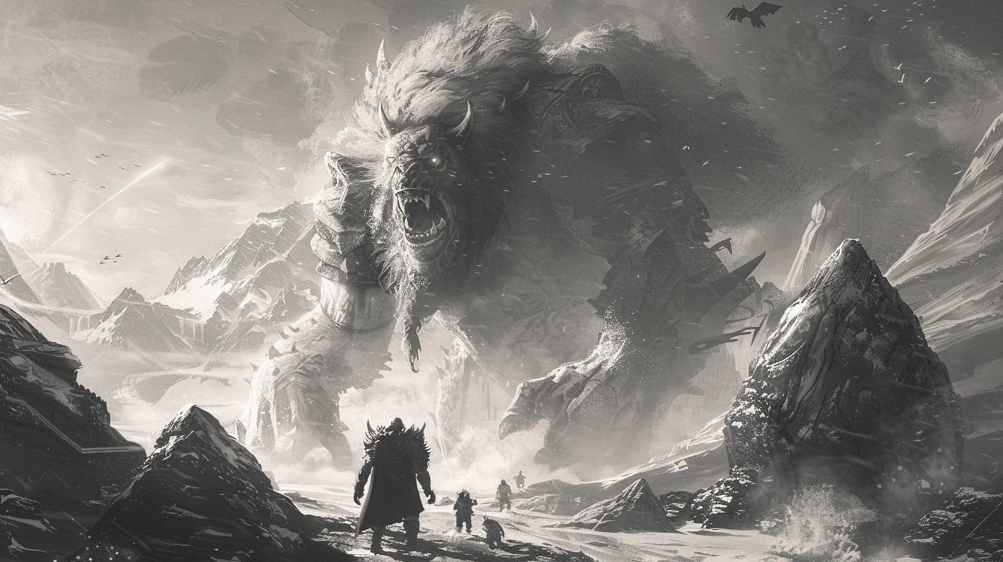
A mountain range does three jobs at once, and all three shape the people around it.
The first is rain. Wet air blows in off the ocean, hits the range, and is forced up. As it rises it cools and drops its water on the windward side, so that face is green and forested. By the time the air crosses the peaks it has nothing left, and the far side is dry. That is a rain shadow, and it is why one slope of a mountain can be rainforest and the slope thirty miles away is desert. Get this right and your desert stops feeling arbitrary. It is arid because something upwind is stealing its rain.
The second job is the border. A range is hard to cross, so cultures on either side drift apart. Different weather, different crops, different languages, different gods. Mountains and seas are where borders come from, because they are the lines people stop moving across.
The third job is the resource. Metal, stone, and cold clean water come out of the high ground, which is why you get mining towns clinging to slopes that no farmer would look at twice.
None of that is scenery. The rain shadow decides who can farm, the ridge decides who is a foreigner, and the ore decides who gets rich enough to raise an army. When you place a mountain you are placing a climate, a frontier, and an economy in one move, and the downstream effects run through your whole world's ecology.
Chokepoints Are Where the Wars Are
Some pieces of land are worth more than the ground around them, and those are the ones people fight over.
A chokepoint is anywhere the geography forces traffic through a narrow gap. The mountain pass that is the only way between two valleys. The strait a fleet has to sail through. The single fertile river valley in a region of dry hills. Whoever holds it can tax everything that passes, or close it, and that power is worth killing for.
This is the cheapest way to generate real conflict in a world. You do not need a dark lord. You need one fertile valley and two kingdoms that both need it, and the war writes itself.
The reverse is just as useful. If you want a place that stays poor and forgotten, put it off every route, behind a range, with no navigable river. Geography that gives creates winners, and geography that withholds creates the backwater the hero is desperate to leave.
Feature to Consequence
Here is the causal chain in one place. Read it as "this landform, therefore this human result," not as a list of terrain types.
| Geographic feature | What it does to settlement | What it does to trade | What it does to conflict |
|---|---|---|---|
| River mouth or confluence | Major city grows here | Cargo transfers, wealth concentrates | Prize worth seizing and holding |
| Ford or lowest bridge | Town at the crossing | Land routes funnel through | Controls movement of armies |
| Windward mountain slope | Farms and dense population | Exports grain and timber | Rich enough to fund armies |
| Leeward slope (rain shadow) | Sparse, nomadic, or empty | Little to trade, moves through | Raiders, not settlers |
| Mountain range or wide sea | Settlement stops at the edge | Barrier, cultures diverge | Natural border, fewer invasions |
| Fertile chokepoint valley | Dense, contested settlement | Everyone must pass and pay | Fought over for generations |
| Coastline with a harbor | Port cities, outward-facing culture | Sea trade, foreign contact | Vulnerable to raids and blockade |
Every row is a decision you make once, on the map, that then constrains hundreds of decisions about your cultures. That is the leverage. Geography is the cheapest worldbuilding you will ever do, because you do it early and it pays out for the whole project.
Geography Creates Identity, Not Just Location
Land does not only decide where people are. Over enough time it decides who they think they are.
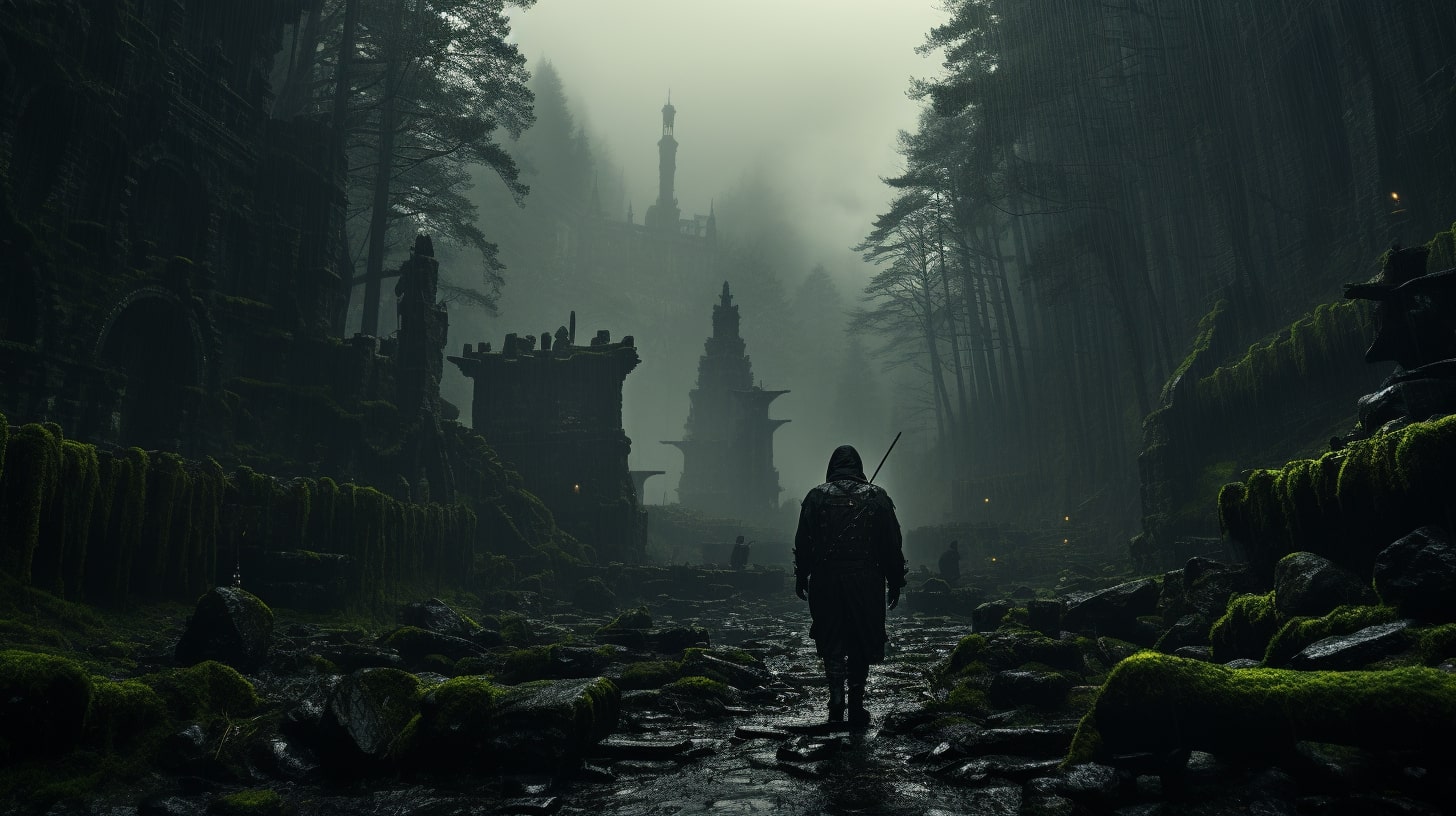
In my own work, Neo Arcadis only exists because of what is underneath it. The city sits on the ruins of Andrascu, an older civilization that was buried rather than erased, and the whole identity of Neo Arcadis comes from being built on top of a grave it cannot quite forget. That is geography working across time. The ground remembers, and the people standing on it inherit the memory whether they want it or not.
This is where the land and the history of your world stop being separate documents. A coastline erodes, a river changes course, a forest is cut down over three centuries. The map you draw is a snapshot of a process, and the ruins, the abandoned ports, and the dry canals are that process showing through. Cities built on older cities are the most honest version of this, because the geography is literally stacked.
You do not need buried empires to use it. You need to remember that the land your people live on had a life before them, and that shows up in what they build and what they are afraid of.
Common Mistakes That Break Fantasy Geography
Most broken maps fail the same handful of ways, and they all come from the same root. The land got drawn for looks instead of from process, so the physics underneath it never had a chance to run.
The most common one is rivers that behave impossibly. A river forks on its way downhill, or it runs uphill, or it connects two separate seas like a canal. Water does not do any of that. A river only ever joins other water going downhill and it drains to one sea, so the moment yours branches into a delta halfway up a mountain the reader stops believing the whole map. The fix is to trace every river from the high ground down and let it merge, never split, until it reaches a single coast.
Next is the lone mountain. A single peak sits on the map with nothing around it, no range, no reason. Mountains come from plates crashing into each other, so they arrive in long ranges, not as scenery you sprinkle for texture. A mountain that exists by itself reads as a prop because there is no process that would make just one. Put your peaks in ranges with a clear grain, and let that grain make the rain shadows and the borders.
Then there is the city that sits nowhere. A great capital in the middle of a plain with no river, no farmland close enough to feed it, and no road anything would use. Cities are expensive to keep alive, so they grow where the land pays for them, and one with nothing feeding it is a city you invented rather than one the land invented. Give every large settlement its water, its farmland, and its route, or move it to where those already are.
Deserts touching ice is another one. A frozen waste sits right beside a sand desert with no latitude or altitude to explain the jump. Climate runs in bands, so heat and cold do not sit side by side without a mountain wall or a huge change in height between them. When they do, the map is coloring in terrain instead of deriving it.
The last is the map drawn for the eye. Symmetrical continents, a tidy land bridge exactly where the plot needs one, coastlines that balance. Real land is lopsided because it came from process, not composition, so anything that looks arranged reads as arranged. Draw the forces first and take whatever shape they hand you.
Draw the Land First
The order matters more than the detail. If you sketch cultures and kingdoms before you know where the water and the high ground are, you spend the rest of the project reverse-engineering reasons for choices you already made.
Start with the physical map. Put down the mountains and the coast, let the rivers run downhill from the high ground to the sea, and mark the rain shadows and the fertile gaps. Only then place the cities, at the mouths and fords and passes where the land says people would gather. When you finally get around to drawing the actual map, you are recording a world that already makes sense rather than decorating a blank one.
Then run the test on every settlement. Why is this city here. If you can answer that in one sentence about the land, the reader will believe the city exists. If you cannot, move it or delete it. A believable world is not one that looks good. It is one where you can explain the reason for every dot, and that reason almost always comes back to where a city can afford to sit.
FAQ
Do I have to draw a map before I write the story? No, but you should know the shape of the land before you place the important settlements. You can write scenes without a finished map. You cannot decide where two kingdoms clash without knowing which valley or river sits between them, because that is what they are fighting over.
What is a rain shadow and why does it matter for worldbuilding? A rain shadow is the dry region on the far side of a mountain range. Wet ocean air drops its rain climbing the windward slope, so the leeward side gets almost none. It matters because it explains why a desert is where it is. Your arid region stops looking random once there is a range upwind stealing its water.
How does geography create conflict without a villain? Give two peoples one thing they both need and cannot share. A single fertile valley, a mountain pass that is the only route between them, a strait every ship must cross. The scarcity does the work. You get a war rooted in the land instead of a war that needs a dark lord to justify it.
Why do so many fantasy cities feel fake? Because they were placed for looks, not for reasons. A city that sits in an empty plain with no water, no crossing, and no resource has no reason to exist. Put your cities where the land would actually gather people, at river mouths, fords, harbors, and passes, and the map stops feeling invented.
Should I design geography or culture first? Geography first. The land constrains what cultures can even develop, from the crops they grow to the borders they defend. Design a culture before you know its terrain and you will keep rewriting it to fit the map. Design the terrain first and the culture grows out of it.